Instruments

Survey instruments

A full set of modern surveying instruments, from GNSS receivers to survey drones and sonar boats. We pick the method that fits the site, then check the result against control.

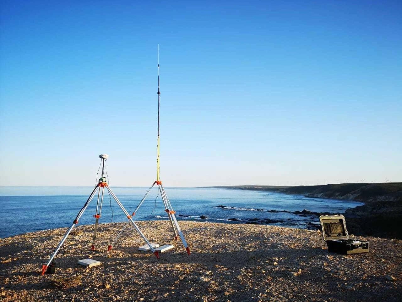
A GNSS base station on a tripod set up above the coastline
GNSS base station
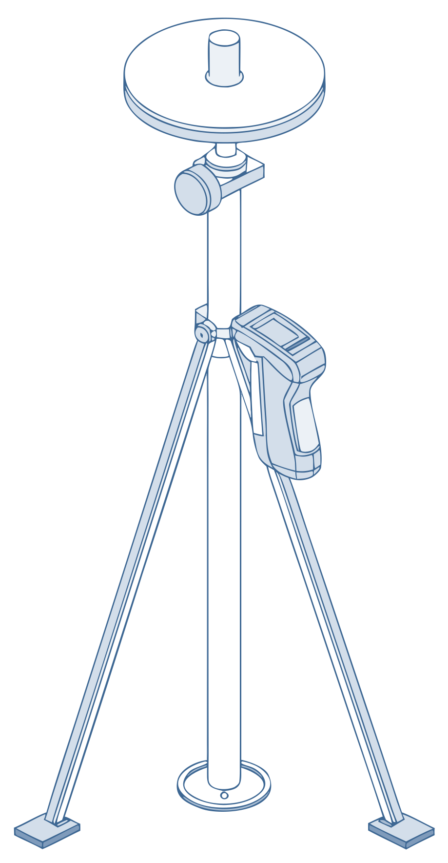
Line drawing of a GNSS receiver on a pole with a bipod and a handheld controller

01 / 06

GNSS receivers

Trimble R4 and R10 GNSS

  • Accurate mapping of land elevation and topography, with outputs ready for CAD.
  • GPS and GNSS receivers that keep reliable data in hard field conditions.

Control networks · Topographic surveys · Set-out on large sites
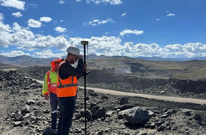
A surveyor with a GNSS rover at the edge of an open pit
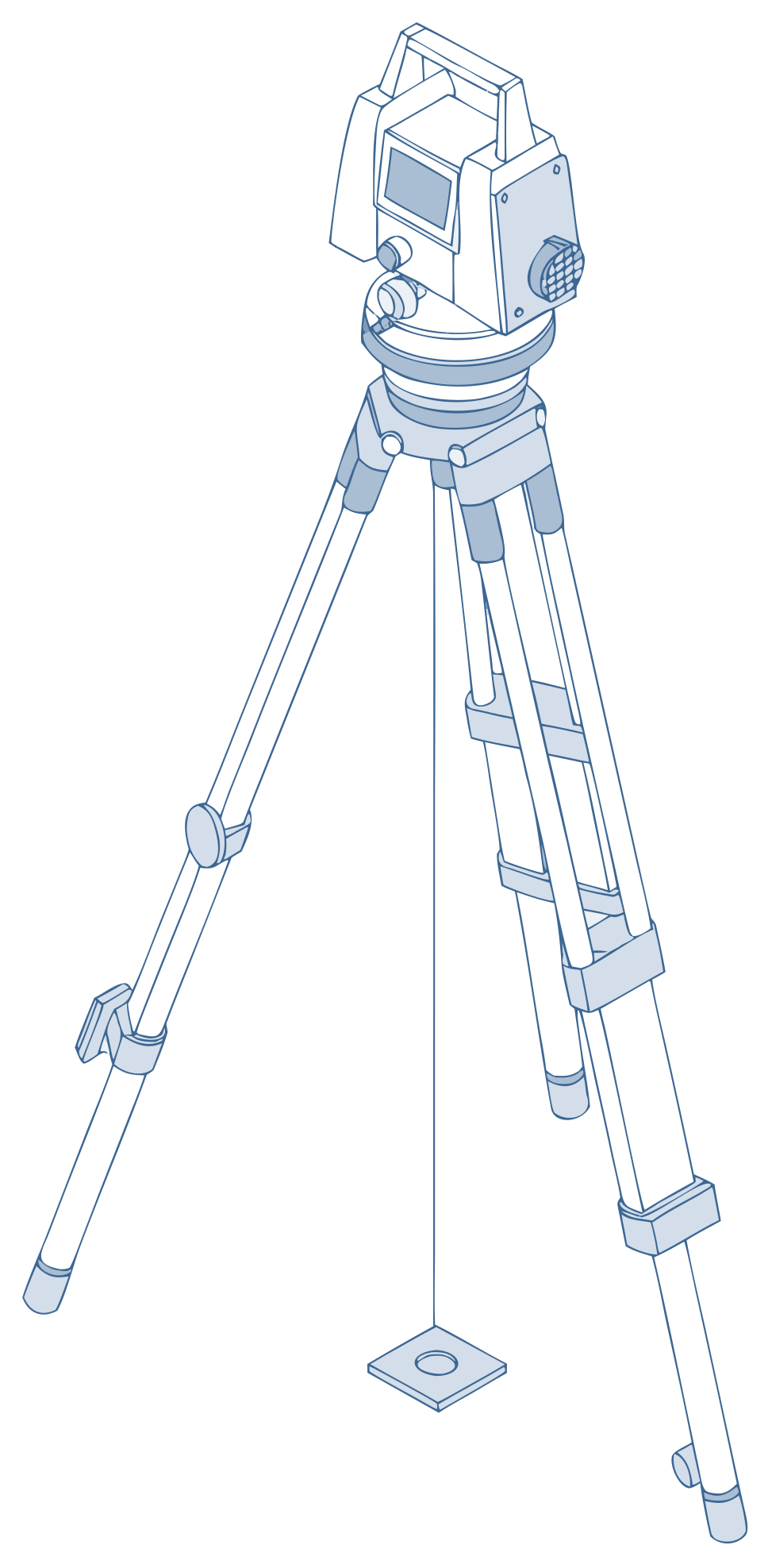
Line drawing of a total station on a tripod, centred over a survey mark

02 / 06

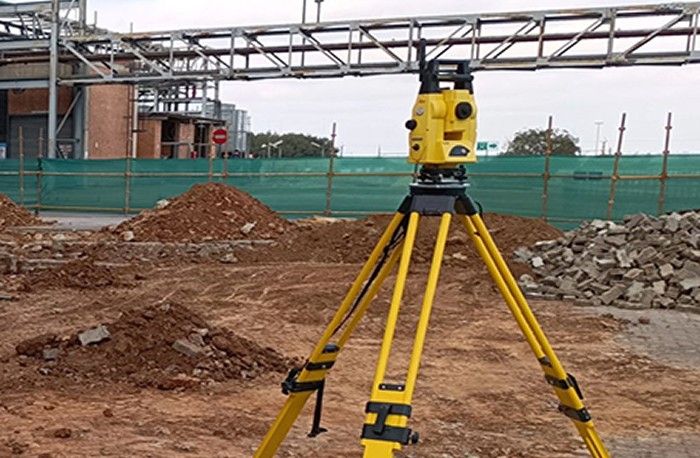
Robotic total stations

Trimble and Sokkia total stations

  • Automated stations for very accurate angle and distance measurements.
  • Used for construction, site layout, boundary determination and monitoring.

Construction set-out · Boundary determination · Monitoring

A total station on a yellow tripod at a construction site
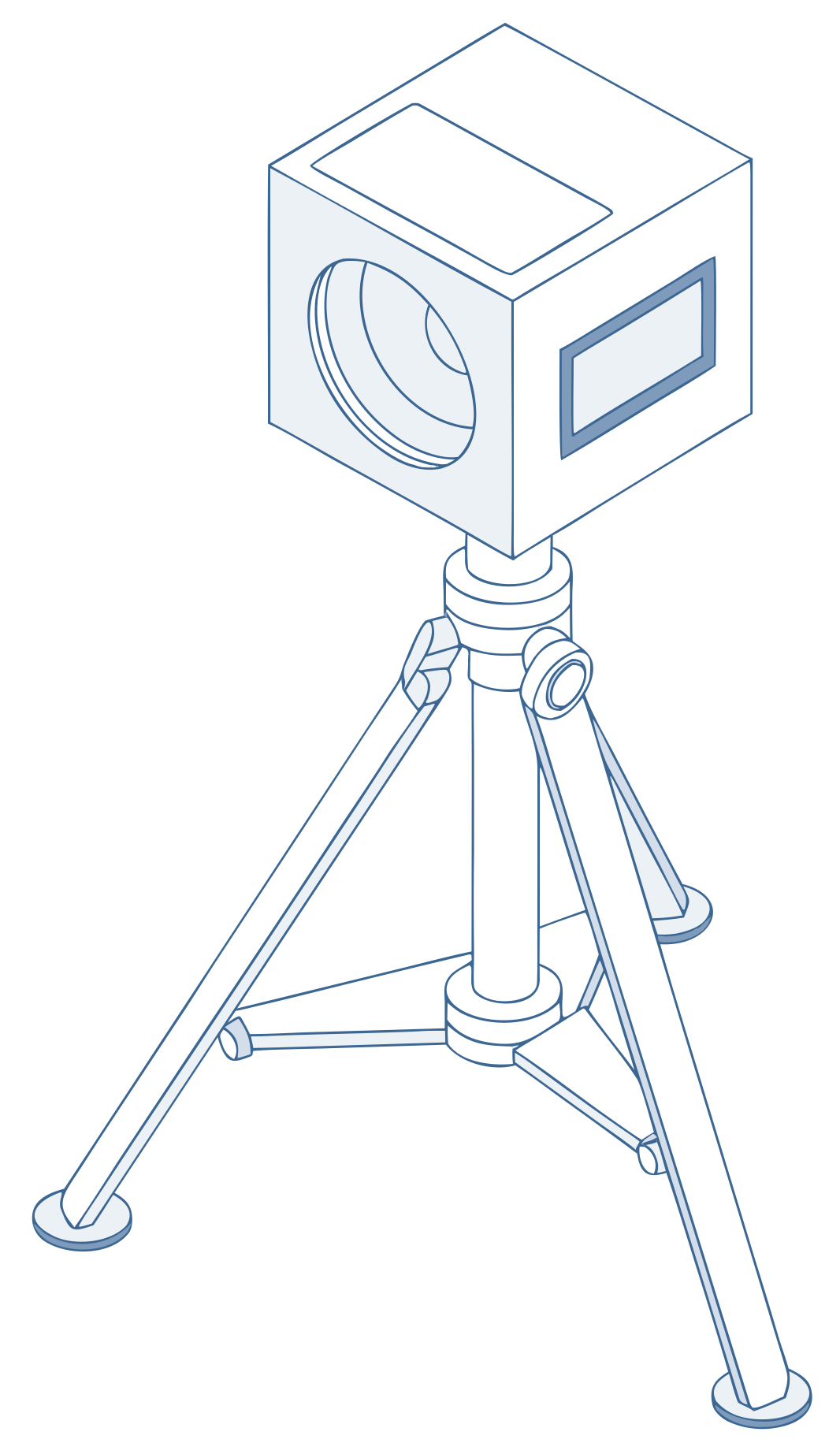
Line drawing of a terrestrial laser scanner on a tripod

03 / 06

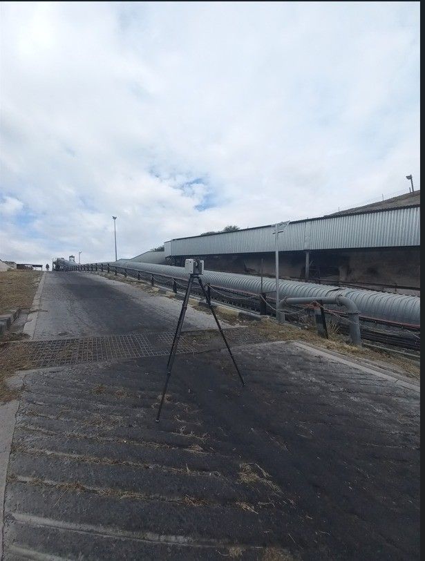
3D scanning and LiDAR

Terrestrial scanners and mobile LiDAR

  • Capture millions of data points in real time for complex modelling, building information and volume analysis.
  • Mobile LiDAR for rapid 3D mapping, indoors and outdoors.

As-built models · Scan-to-BIM · Volume analysis

A laser scanner on a tripod on an industrial platform
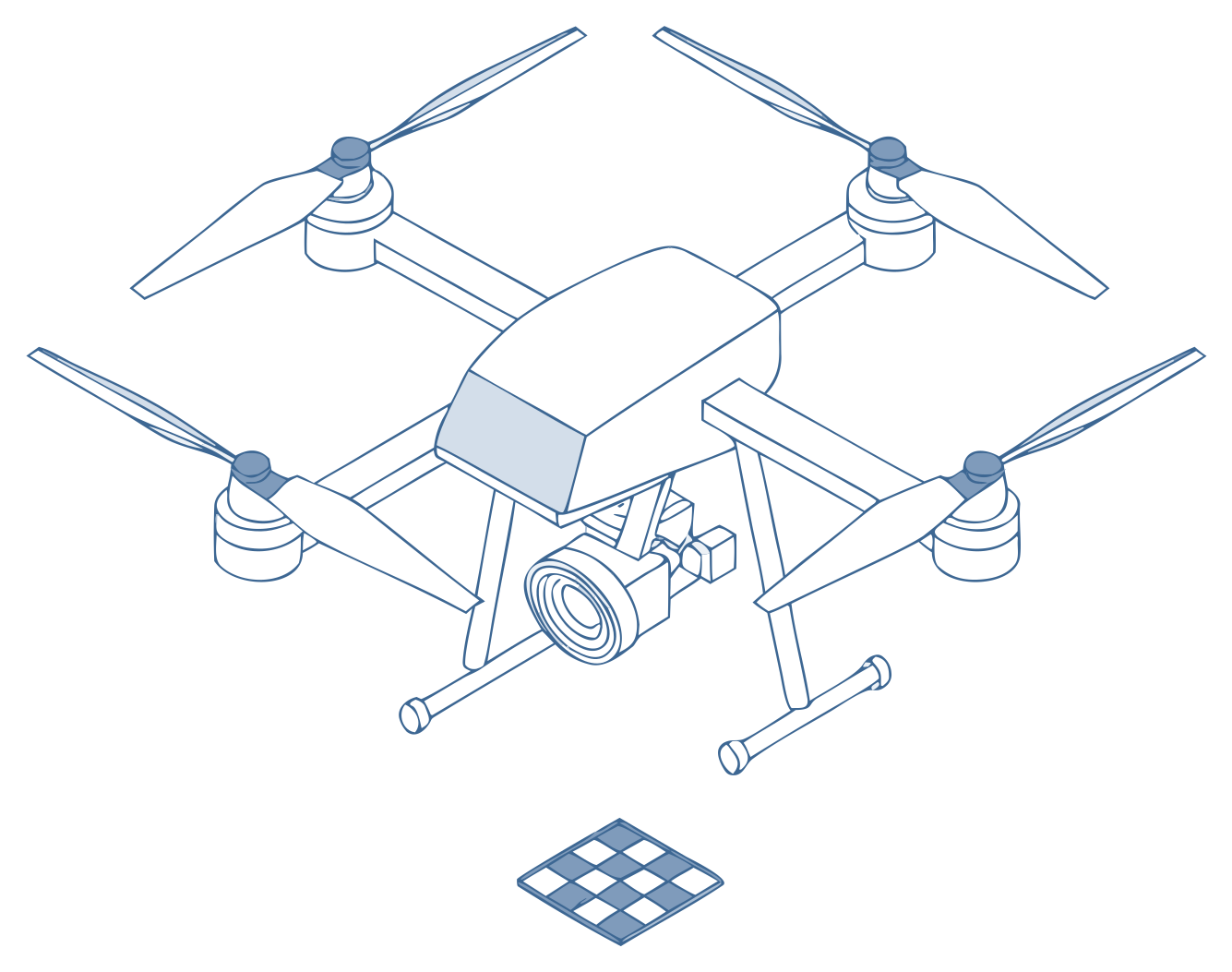
Line drawing of a survey drone hovering above a ground control target

04 / 06

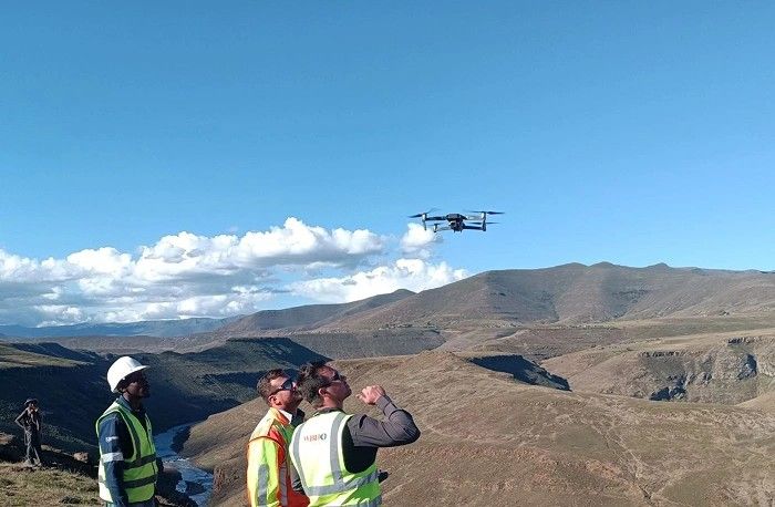
Survey drones

Drone fleet

  • High-resolution aerial mapping, orthophotos and photogrammetry.
  • Reach hard-to-access places safely and quickly.

Aerial mapping · Orthophotos · Stockpile volumes

Three surveyors flying a drone above a valley
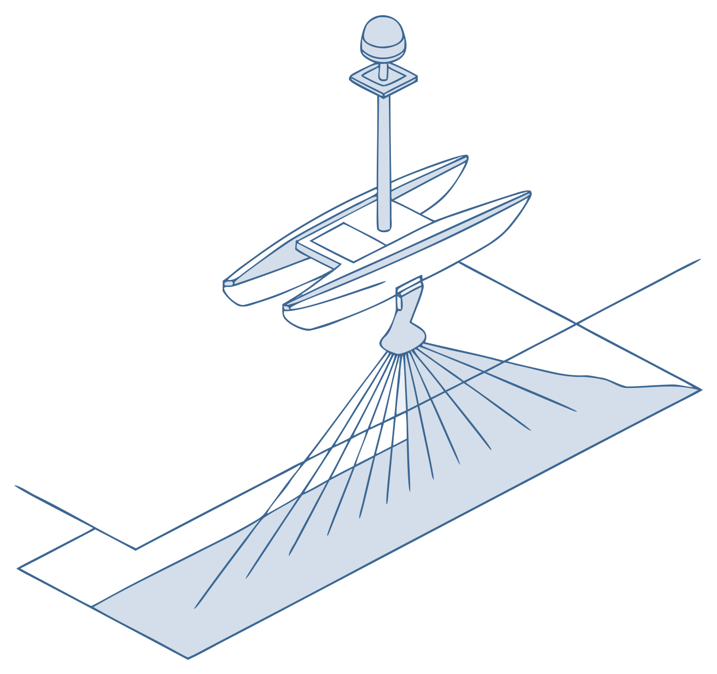
Line drawing of a small survey boat with a sonar fan reaching the river bed

05 / 06

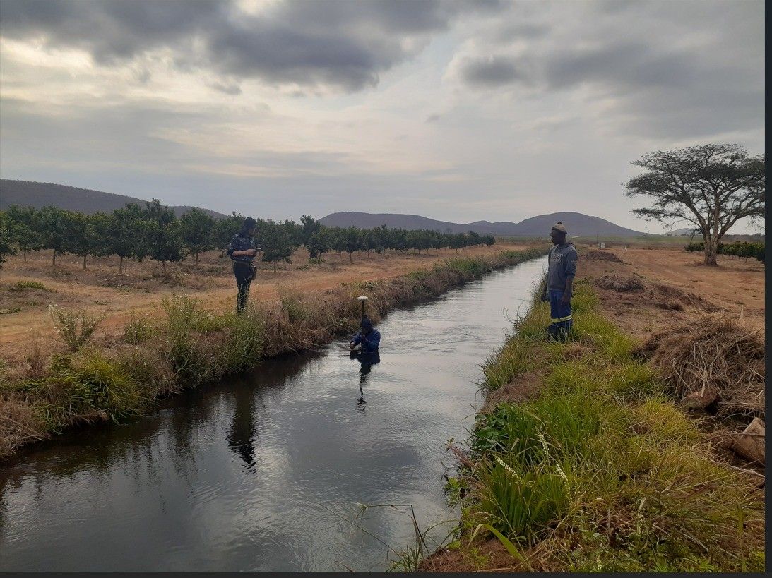
Hydrographic and bathymetric

Bathymetric boats with sonar

  • Measure underwater topography and water depth for dam, river and reservoir surveys.

Dam surveys · River surveys · Reservoir surveys

Surveyors working along a canal
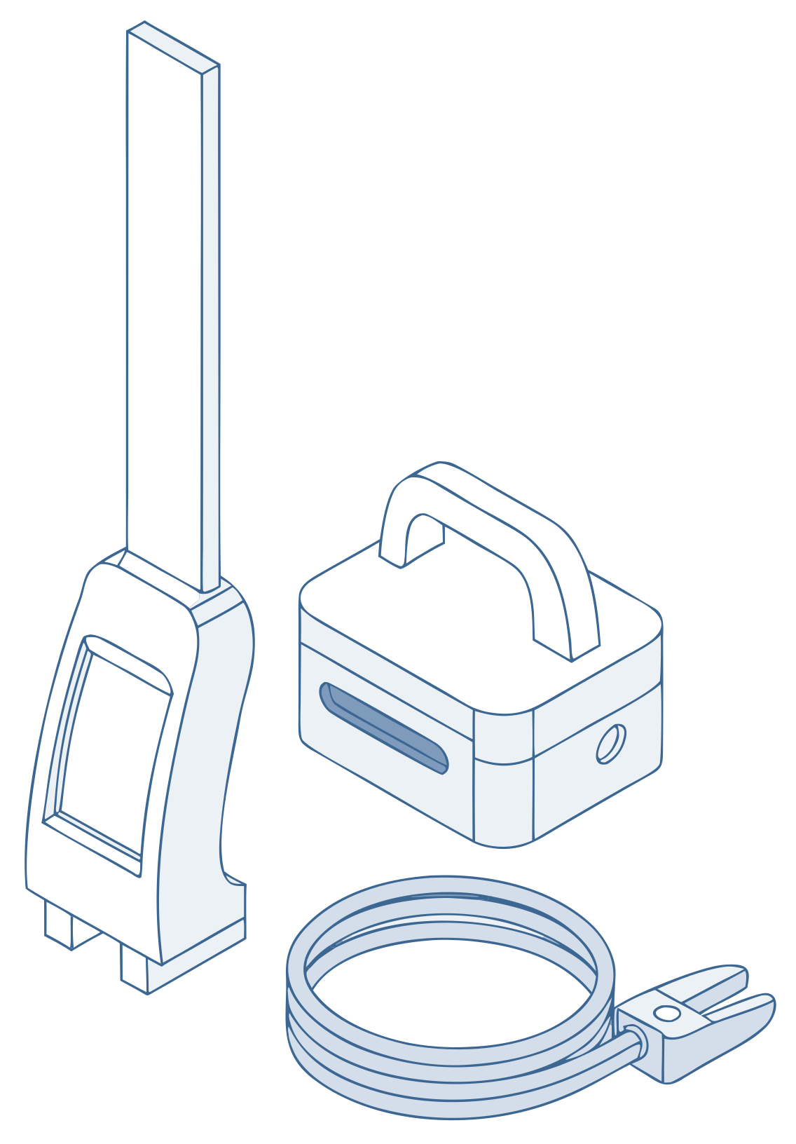
Line drawing of a cable locator wand next to a signal generator

06 / 06

Utility detection

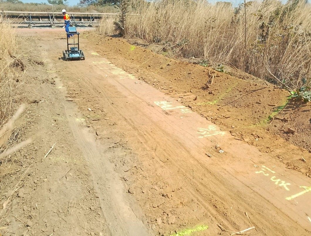
CAT and Genny cable locators

  • Find and map underground utilities and features, which is essential for safe excavation and site planning.

Pre-excavation checks · Utility mapping · Site planning

Utility detection equipment on a dirt road on site

Get a quote

Not sure which method fits?

Tell us about the site and what you need to know. We will recommend the instrument and the approach.