01
UAV / Drone Surveying & LiDAR Mapping
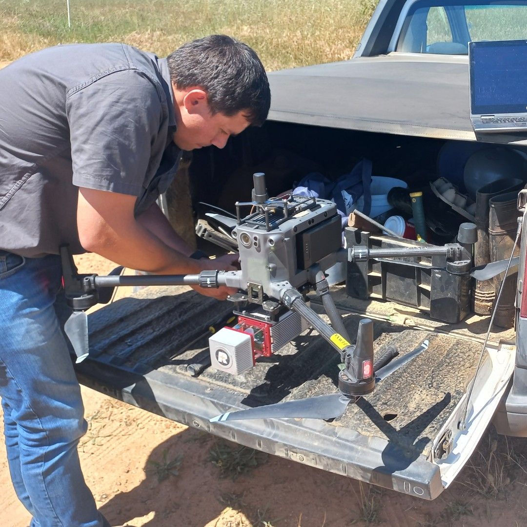
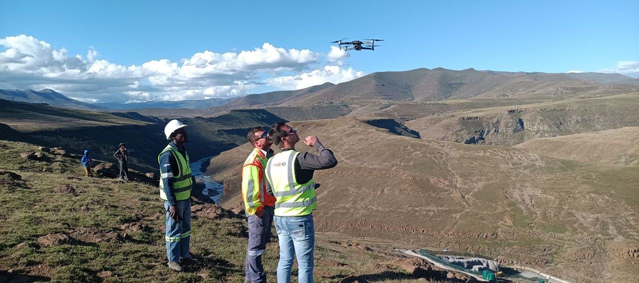
Our UAV (Unmanned Aerial Vehicle) services enable rapid capture of high-resolution aerial data over large or inaccessible areas. Combined with LiDAR (Light Detection and Ranging) technology, we produce survey-grade datasets for planning, design, and monitoring.
Method and deliverables
Applications
- Open-pit mine volumetrics
- Large-scale topographic mapping
- Progress monitoring for infrastructure projects
- Environmental compliance reporting
- Accessing high-risk or restricted areas without endangering staff
Technology
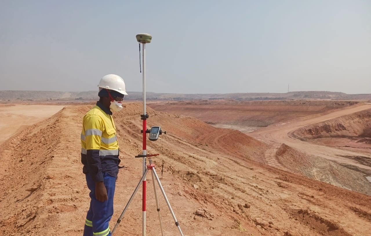
- Fixed-wing and multi-rotor UAVs with PPK/RTK GPS
- LiDAR sensors for dense vegetation or complex terrain
- High-resolution photogrammetry cameras
Deliverables
- Orthomosaic imagery (2-5 cm resolution)
- LiDAR point clouds (LAS/LAZ)
- Digital Terrain Models (DTMs) and Digital Surface Models (DSMs)
- Contour maps and CAD-ready data