Case study · Energy

Oya Energy Hybrid Project

Survey control, set-out and QA on a hybrid plant: 155 MW solar PV, 86 MW wind and 94 MW / 242 MWh of battery storage.

Place
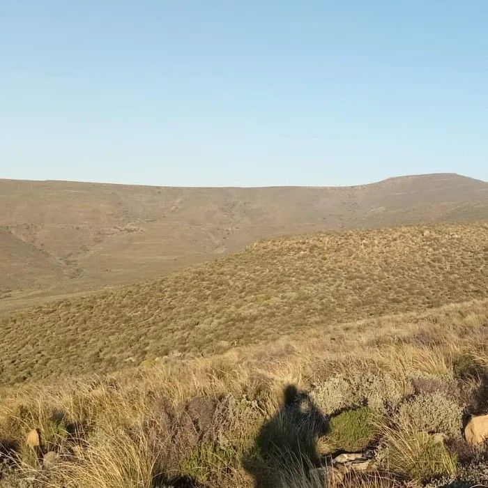
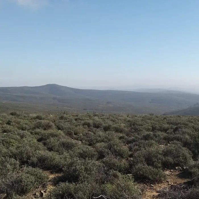
Between Ceres and Sutherland, Western and Northern Cape
Client
SinoHydro, for ENGIE and G7 Renewable Energies
Our role
Survey control, construction support and QA lead
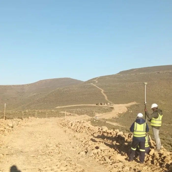
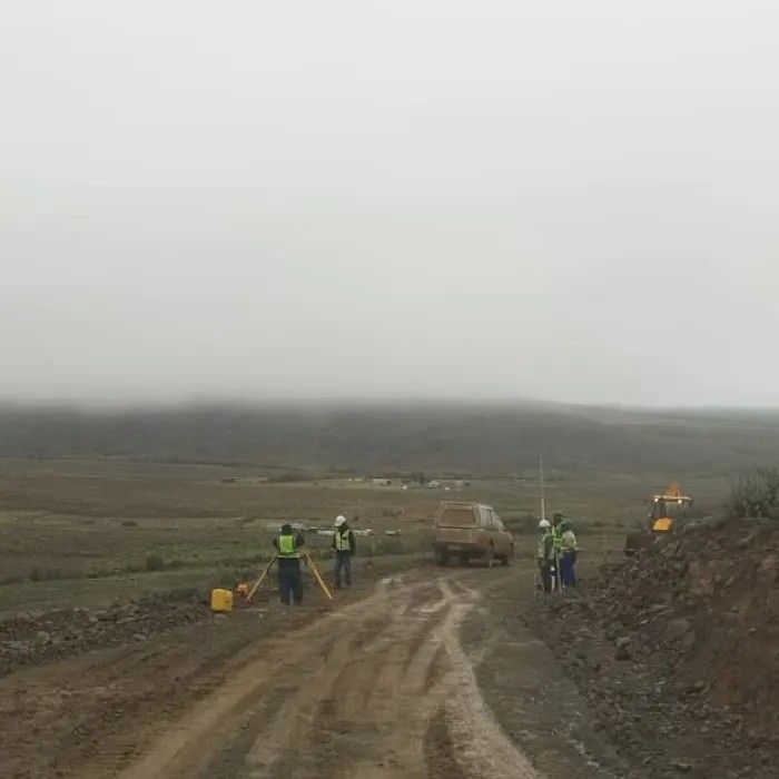
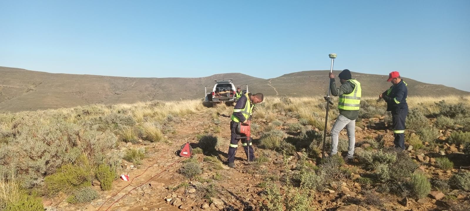
Surveyors with a GNSS pole and a bakkie in the veld at the Oya site

Overview

The Oya Energy Hybrid Facility is the largest hybrid renewable energy project of its kind in Africa. It combines 155 MW of solar PV, 86 MW of wind and a 94 MW / 242 MWh battery storage system on one site, between Ceres and Sutherland, run by an AI-managed hybrid control system. It supplies dispatchable, clean power to Eskom under a 20-year power purchase agreement, enough for roughly 180,000 households, and cuts CO₂ emissions by more than half a million tonnes a year. Geovantage ran on-site survey control, construction support and QA across the solar, wind and battery teams.

Quick fact155 MW of solar PV, 86 MW of wind power and 94 MW / 242 MWh of battery storage, all surveyed by Geovantage.

Challenges

  • Ensuring QA through as-built verification, minimising rework
  • Supporting volume and progress tracking across evolving site geography
  • Coordinating survey activities across multiple contractors and zones, maintaining real-time alignment between teams
  • Delivering immediate, high-precision setting-out for complex civil and turbine base works
  • Developing a unified control infrastructure across a sprawling, multi-disciplinary site for solar, wind, and battery teams

Scope of work

  • Progress measurement through UAV and ground surveys
  • As-built verification for foundations and infrastructure
  • Volume assessments and earthworks QA
  • Road alignment and base location marking
  • Baseline NGL and terrain capture
  • Full control establishment and expansion

Our approach

Geovantage embedded a multi-disciplinary survey team early, starting with NGL (Natural Ground Level) surveys to inform design engineers. We then established and maintained reliable GNSS and total station-based control networks, from which all site development flowed.

During construction, we provided:

  • Immediate as-built surveys, capturing the actual built location of structures for QA and record-keeping
  • Volume tracking, via UAV and survey-grade mapping, crucial for contractor reporting and progress claims
  • Wind turbine base layout, including excavation and blast-level checks
  • Access road set-out, ensuring correct alignment for civil teams

Technology and deliverables

Instrumentation

  • Digital Levels, for fine accuracy in elevation control
  • UAV Photogrammetry, for large-scale progress capture and volumetrics
  • Robotic Total Stations, for millimetre-level layout of turbine bases and infrastructure
  • GNSS RTK systems, for rapid, high-accuracy control and positioning

Deliverables

  • As-built maps, PDFs/DWGs, and deviation reports
  • Design-aligned CAD layers and control point registers
  • Volume/earthworks tracking reports
  • UAV orthophotos and survey visuals for management oversight

Outcome

Near real-time as-built checks, above and below ground, kept the works inside tight tolerances and cut remobilisation and set-up errors. One control network kept the solar, wind and battery teams building from the same reference.

Get a quote

Have a site like this?

Email the scope, the site and your dates to arne@geovantage.co.za, or call. We will come back with a quote.