
Services
Surveying services
Mining, land, engineering and specialist surveys. 32 survey types in all, each delivered as data your engineers can use.
S-01
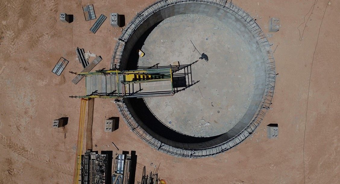
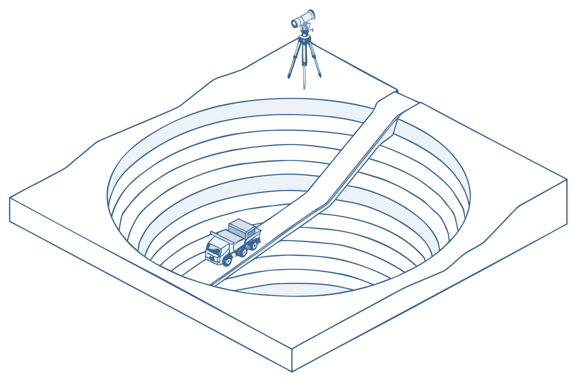
Mining surveying
Surface and underground surveys, from mine construction through to the as-built check.
- Volume calculations
- Deformation monitoring
- As-built verification
S-02
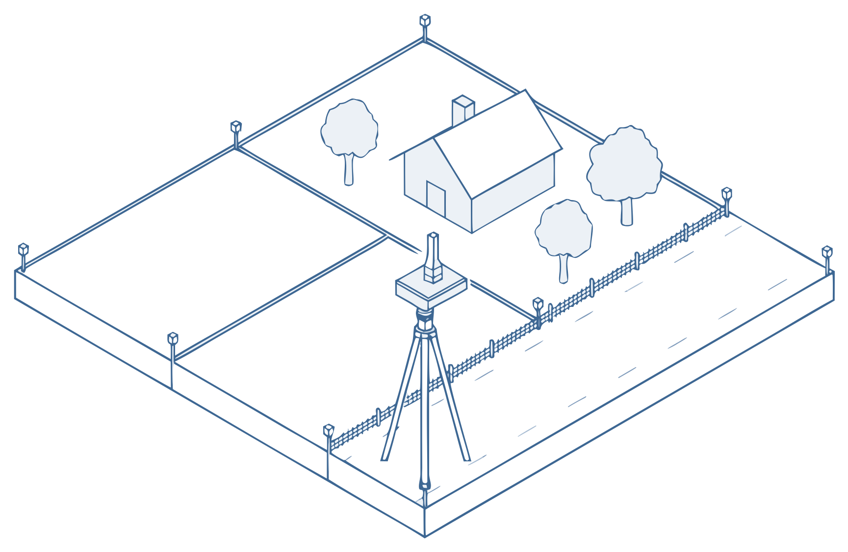
Land surveying
A clear, compliant base for developers, engineers and municipalities to work from.
- Boundary surveys
- Topographic surveys
- Utility surveys
S-03
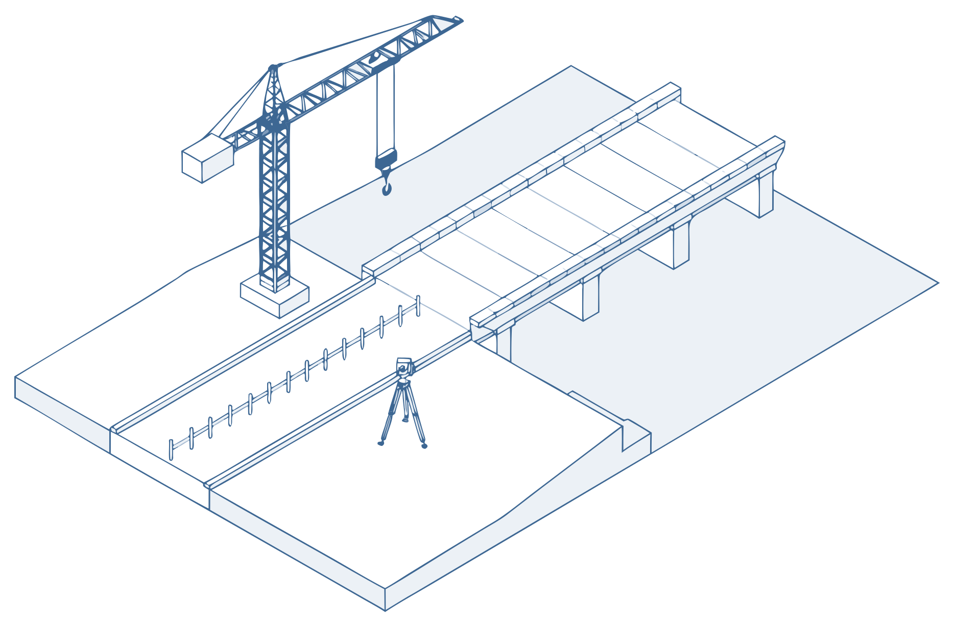
Engineering surveying
Survey support for civil and industrial infrastructure, from the first peg to the last check.
- Route and corridor surveys
- Construction set-out
- Monitoring
S-04
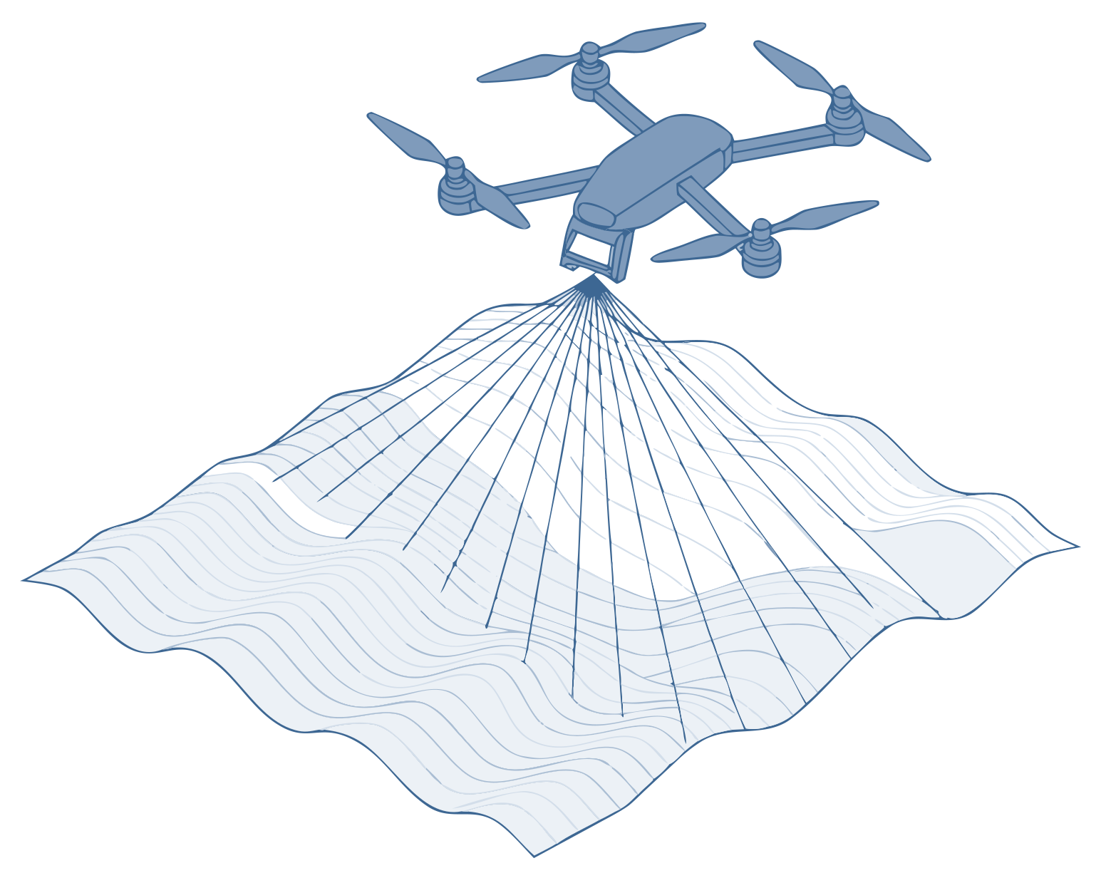
Specialist surveying
The right instrument for complex builds, and managed survey teams to run it.
- UAV and LiDAR mapping
- GPR scanning
- Survey team management
Full list
Every survey type we offer.
How we work
From first stake to final handover.
Stn 01
Understand and plan
We sit with your engineers and contractors to pin down scope, tolerances and the hard parts.
Stn 02
Establish control
Primary and secondary control networks, so all work is built from the same reference frame.
Stn 03
Set out and verify
We position the works, check the as-built accuracy and issue reports as the work happens.
Stn 04
Deliver and support
CAD files, coordinate registers and volume reports, ready for your team to keep building.
Get a quote
Tell us about your project.
Email the scope, the site and your dates to arne@geovantage.co.za, or call. We will come back with a quote.