S-01 · Service

Mining surveying

Control, set-out, volumes and monitoring for open-pit and underground mines, from exploration drilling through to closure.

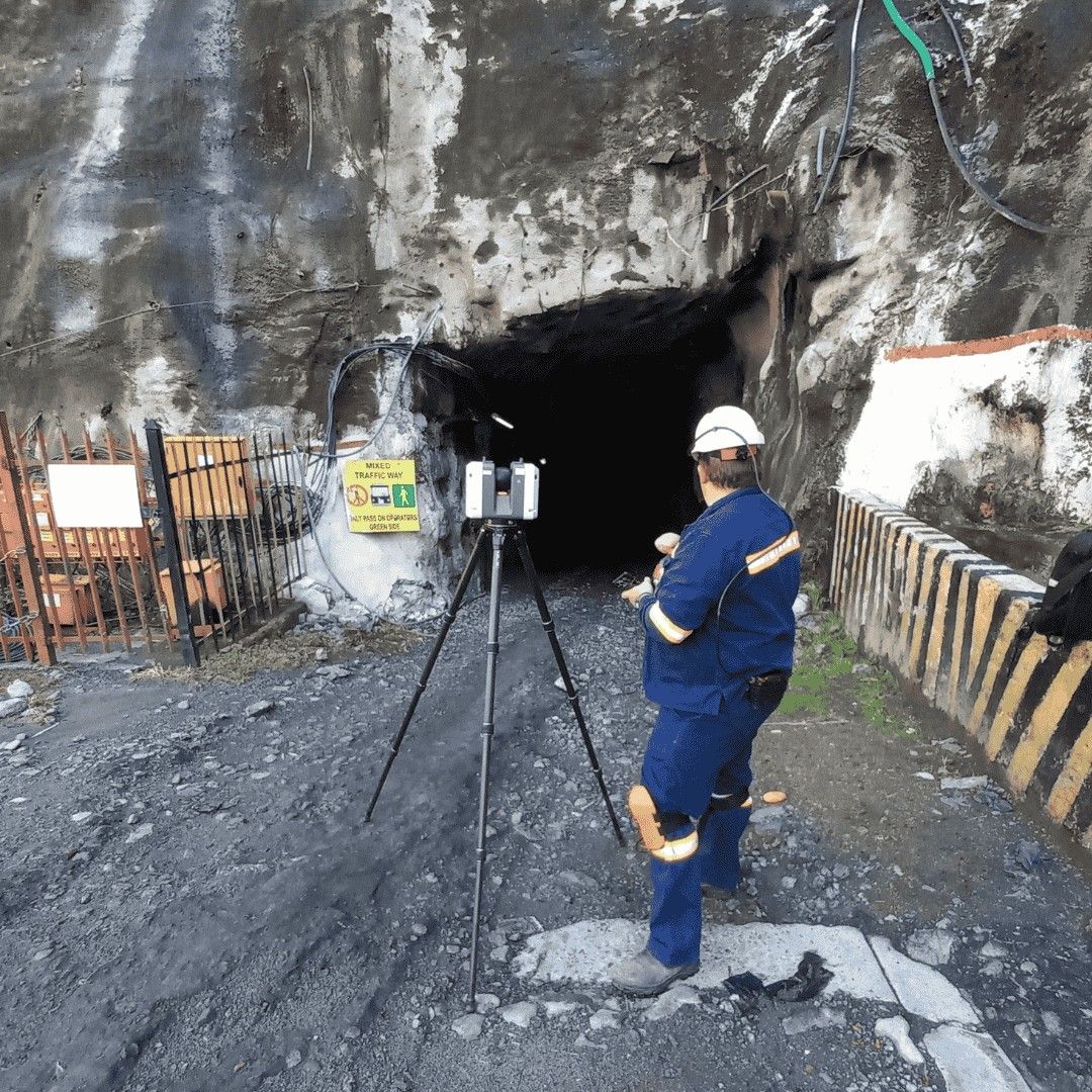
A surveyor with an instrument at the portal of an underground mine
Underground portal

What is included

9 kinds of mining surveying.

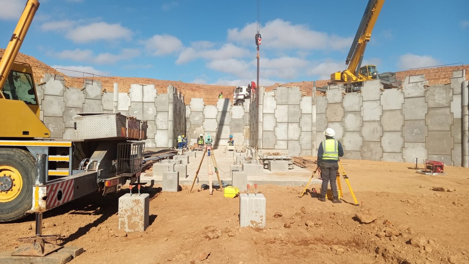
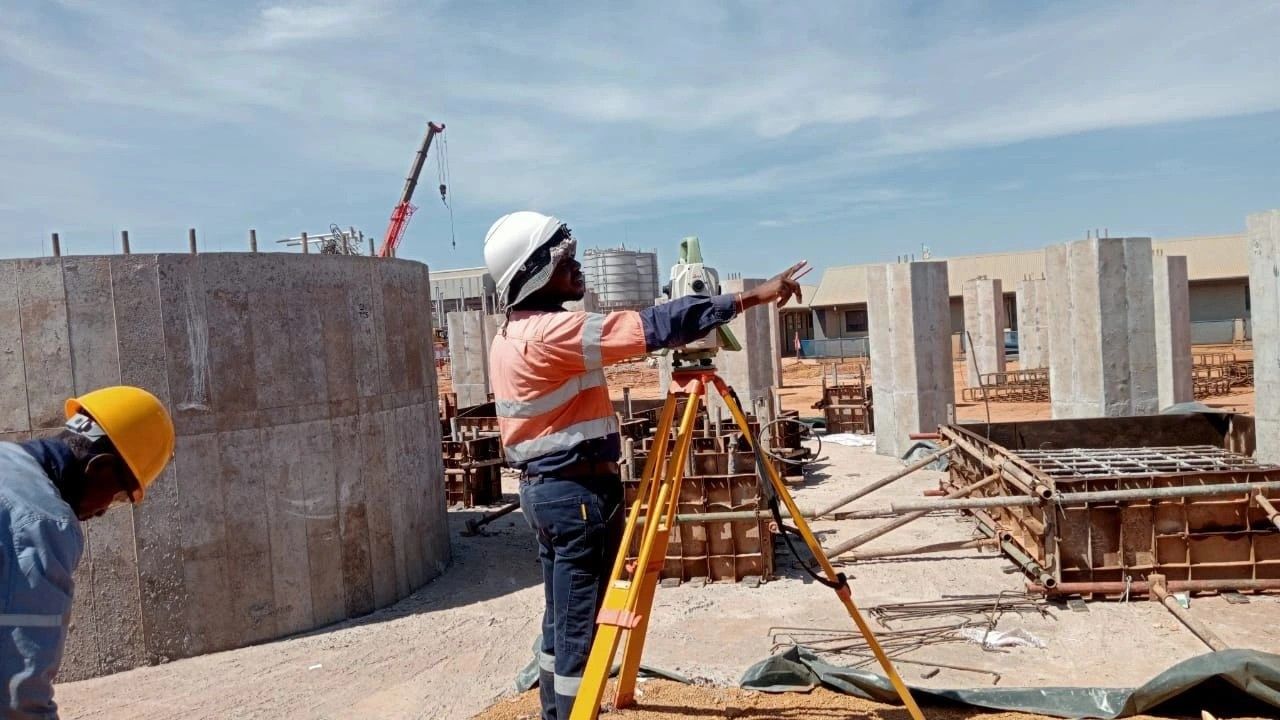
A surveyor with a total station at concrete works on a mine plant

01

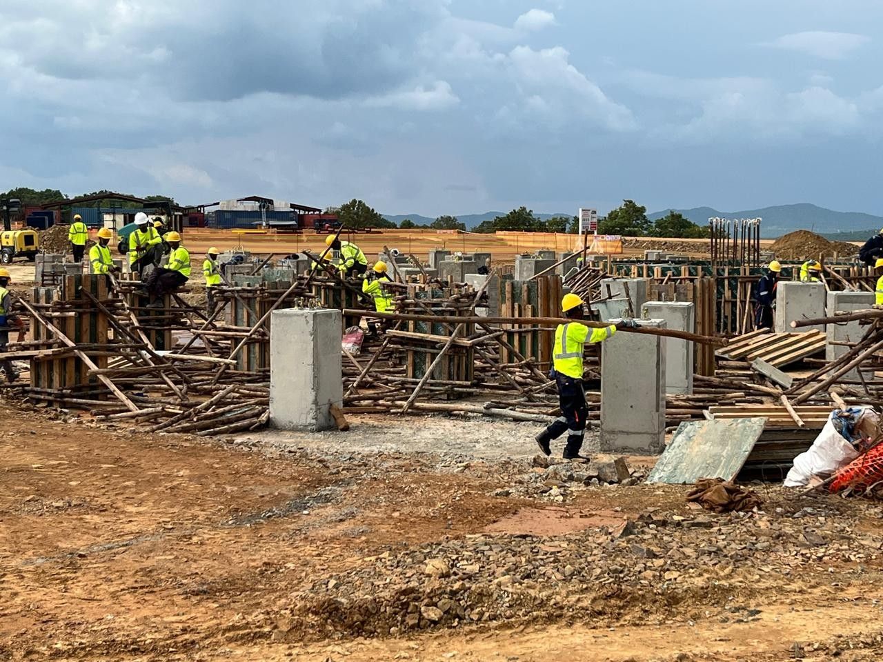
Mine Construction & Production Surveys

Ensure all mine development and production activities are executed precisely to plan, maintaining safety and operational efficiency.

Method and deliverables

What we do

  • Establish survey control networks to guide construction crews
  • Set-out of haul roads, pit boundaries, waste dumps, and plant infrastructure
  • Verify excavation progress against design plans

Deliverables

  • Control point coordinates
  • Construction set-out maps
  • As-built documentation

Why it mattersIn mining, even small deviations can result in safety risks, over-excavation, or costly rework. Accurate set-out protects both assets and lives.
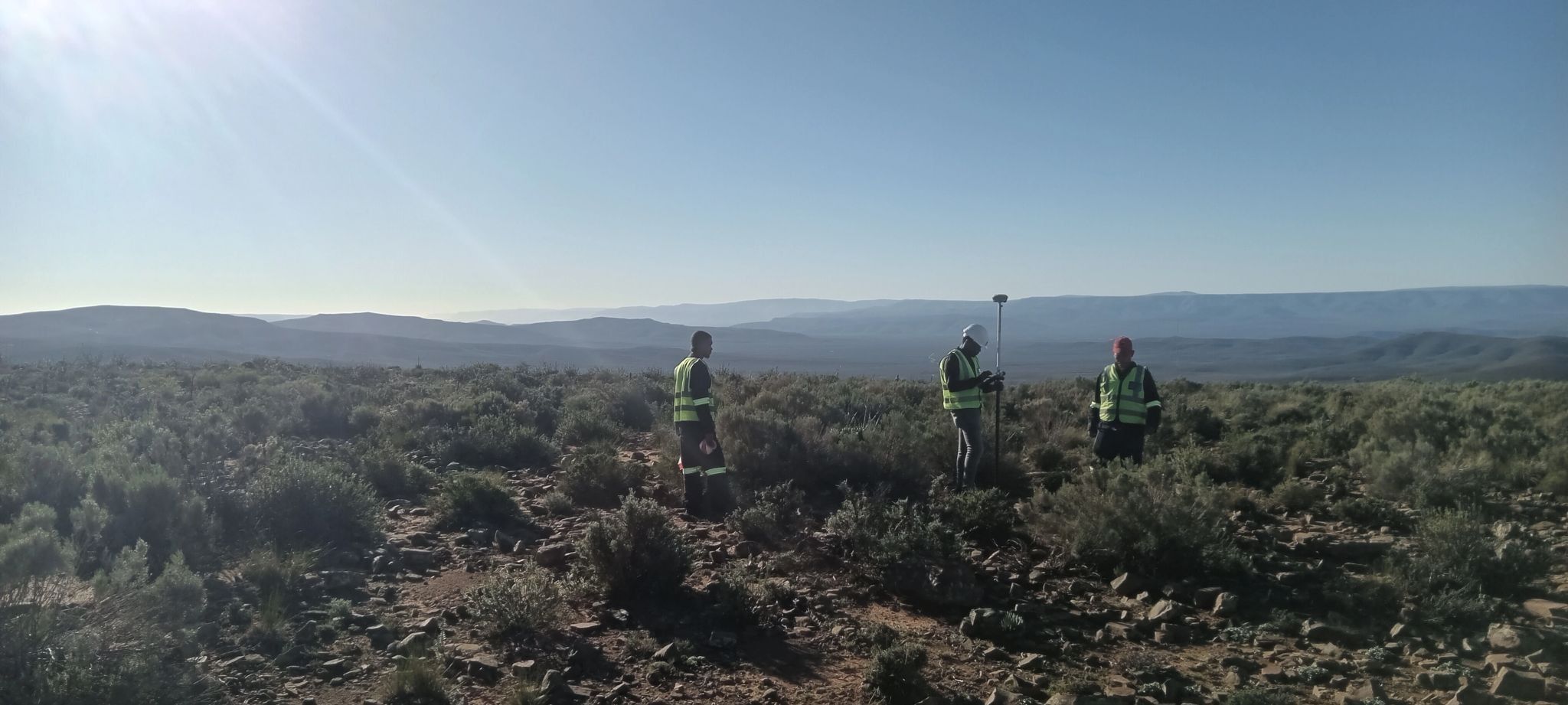
Three surveyors in hi-vis vests in scrubland

02

Exploration Survey Control

Provide precise positioning for geological exploration and drilling campaigns.

Method and deliverables

Technology

  • Set-out drillhole collars with high-precision GNSS
  • Pick-up collar positions post-drilling for geological modelling
  • Create control frameworks for mapping geophysical data

Why it mattersIncorrect drill positioning can compromise entire exploration programs. Our surveys guarantee accurate geospatial reference for all data collected.

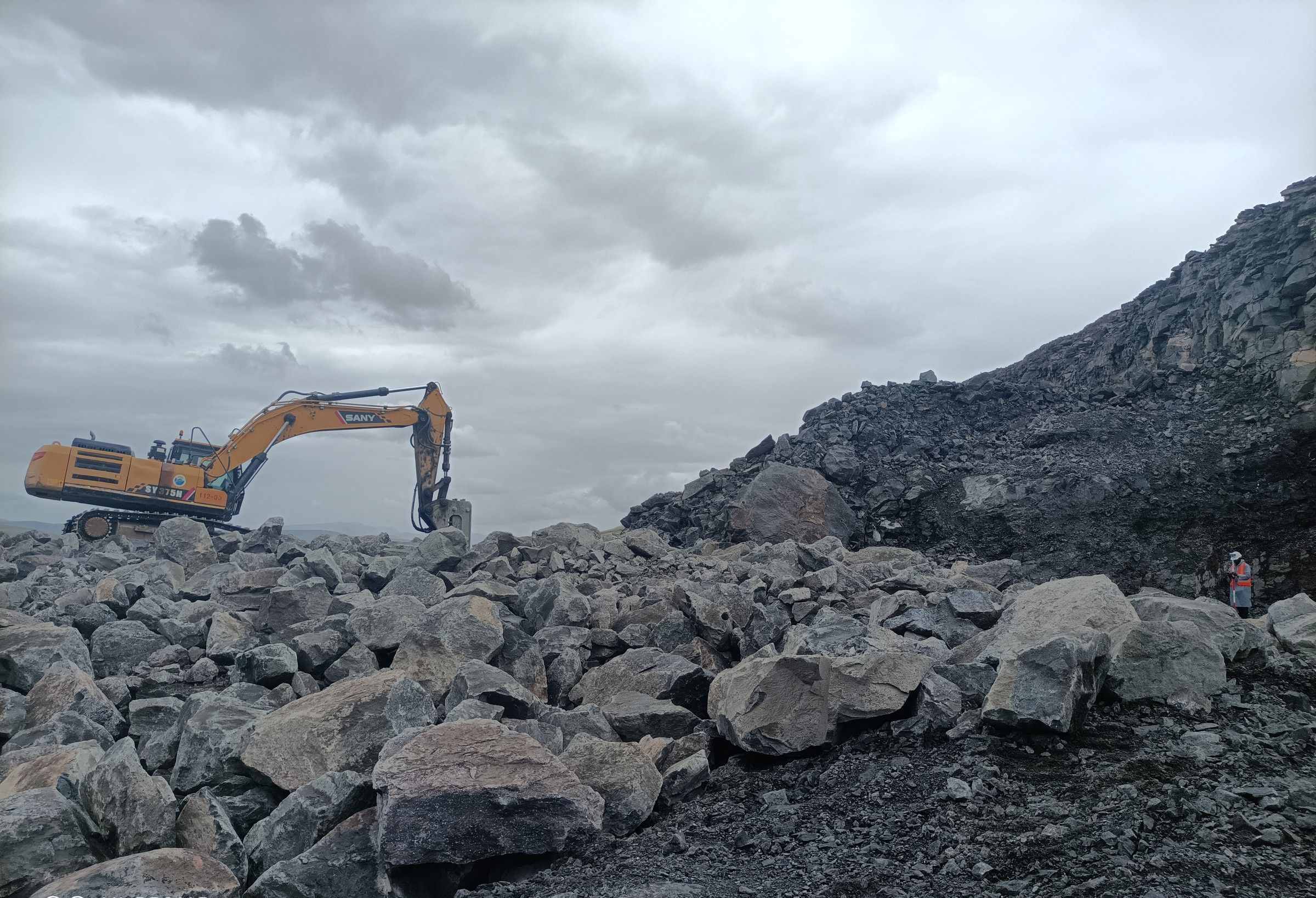
An excavator on a blasted rock face

03

Volume & Quantification Surveys

Measure the quantity of extracted material, stockpiles, and waste dumps with accuracy.

Method and deliverables

Technology

  • UAV photogrammetry and LiDAR scanning of stockpiles
  • 3D modelling to calculate volumes for inventory, reporting, and reconciliation
  • Comparative surveys to track production rates

Deliverables

  • 3D models (TIN/point cloud)
  • Volume reports in CSV/PDF formats
  • Change-over-time visuals

Why it mattersAccurate volumetrics are critical for mine planning, financial reporting, and contractual compliance.

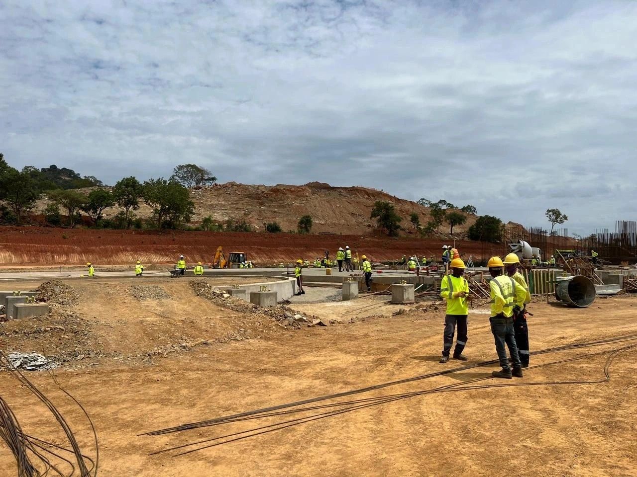
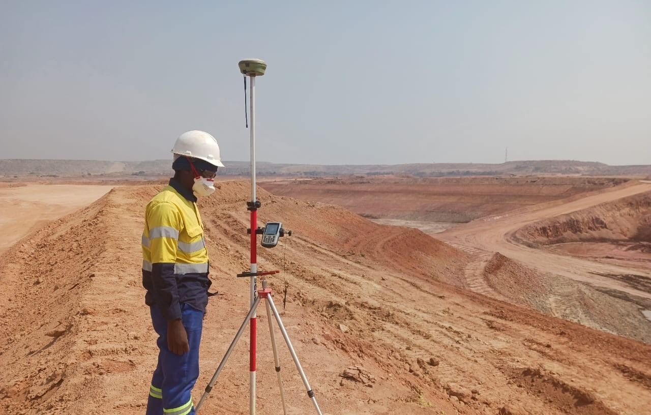
A survey crew walking across an earthworks site

04

Progress & Compliance Surveys

Track the mine's progress against design, budget, and regulatory requirements.

Method and deliverables

What we do

  • Routine monitoring of excavation faces, benches, and stopes
  • Check against original pit or underground design models
  • Provide proof of compliance with environmental and mining regulations

Why it mattersHelps avoid regulatory penalties, ensures design conformance, and enhances project transparency.

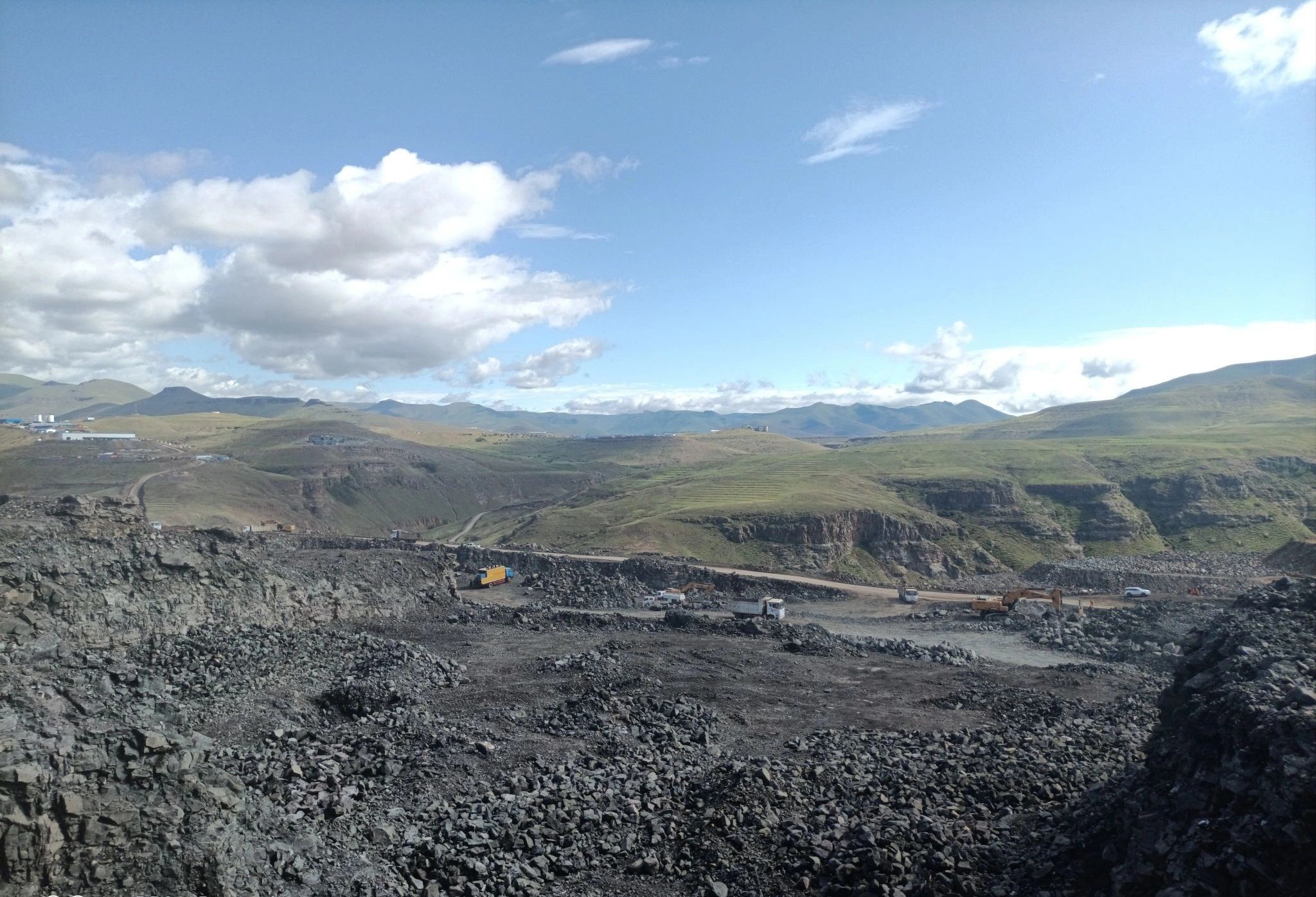
An open pit seen from the rim under a cloudy sky

05

Blast & Drilling Set-Out, QA/QC

Ensure blasts and drill patterns are accurately placed for maximum efficiency and safety.

Method and deliverables

Technology

  • Set-out blast holes and drilling grids
  • Post-blast surveys to assess fragmentation and displacement
  • QA/QC reporting to improve subsequent blast designs

Why it mattersReduces misfires, improves fragmentation, and minimises risk to personnel and equipment.

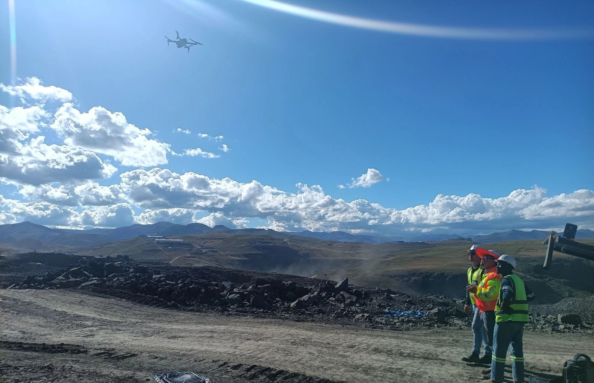
Two surveyors at the edge of an open-pit mine with a drone in the air

06

UAV / Drone LiDAR & Photogrammetry

Capture high-resolution aerial data for mine planning, monitoring, and safety inspections.

Method and deliverables

What we do

  • Fly UAV missions to capture orthophotos, DSMs, and dense point clouds
  • Integrate aerial data with ground control for survey-grade accuracy
  • Perform rapid inspections of high-risk areas without exposing staff to hazards

Why it mattersSafer, faster, and often more cost-effective than traditional methods, especially in remote or dangerous terrain.

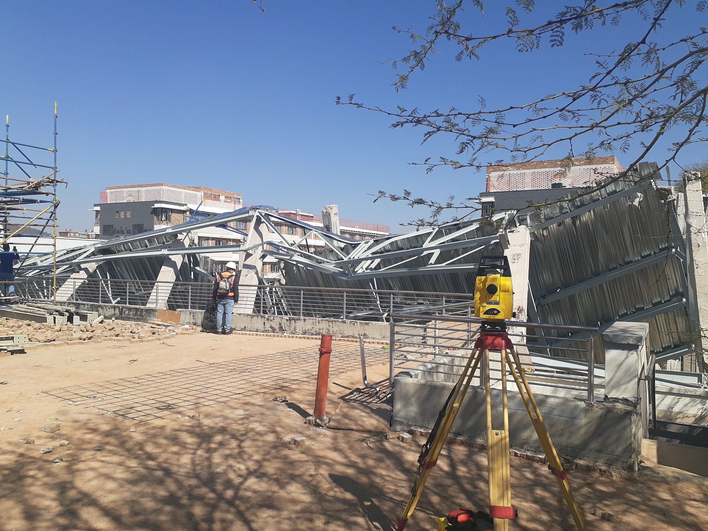
A total station set up in front of a collapsed structure

07

Deformation & Monitoring Surveys

Detect movement in mine infrastructure, slopes, tailings dams, and underground openings before failure occurs.

Method and deliverables

Technology

  • Install and monitor prisms, extensometers, and inclinometers
  • Perform high-frequency GNSS or total station checks
  • Analyse and report movement trends for early warning

Why it mattersPrevents catastrophic failures, supports safety compliance, and protects lives.

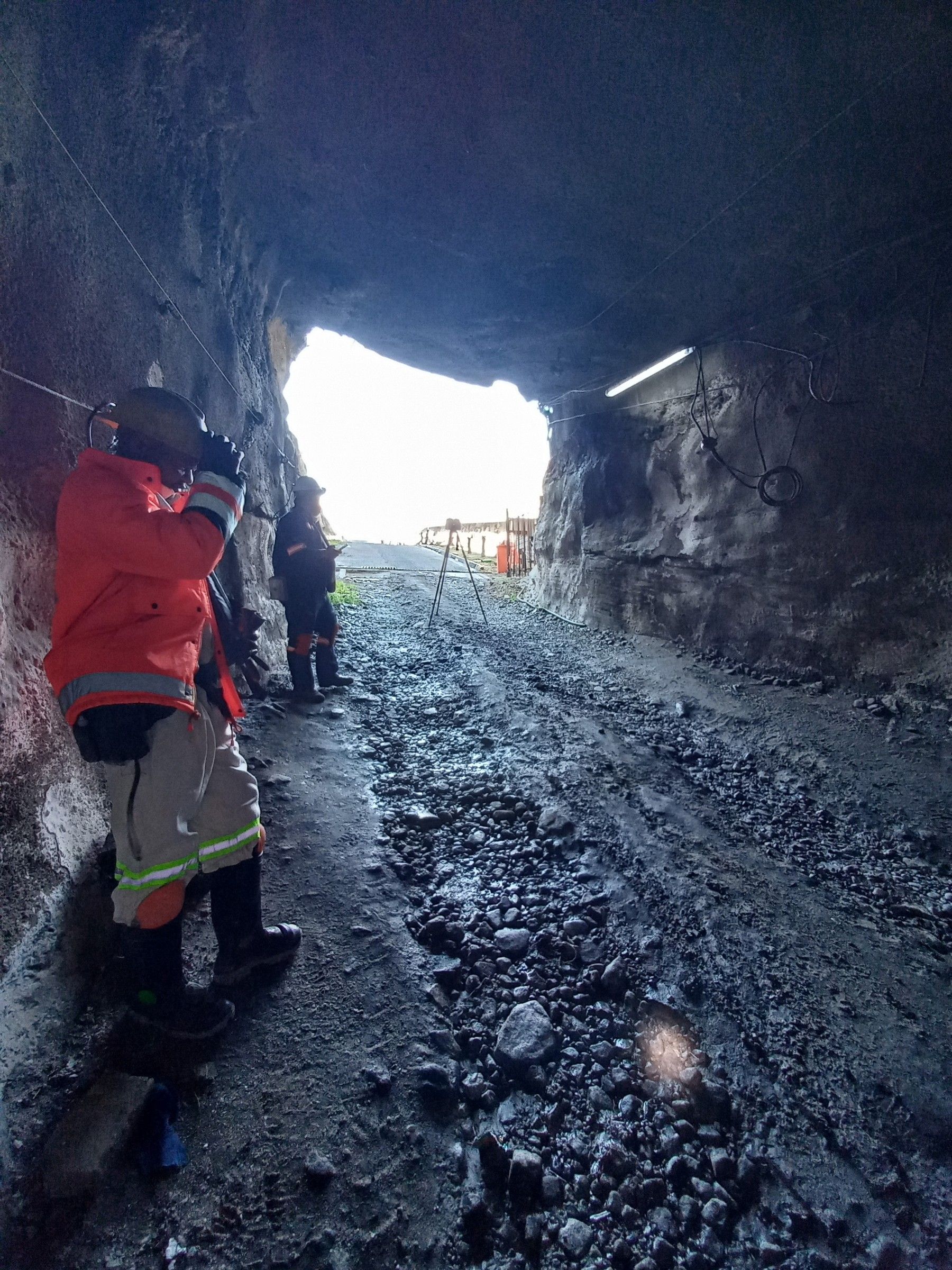
Surveyors at the portal of an underground working

08

Underground Mapping & Surveying

Capture the geometry of underground workings for planning, safety, and legal reporting.

Method and deliverables

What we do

  • Traverse surveys through tunnels, drives, stopes, and shafts
  • Laser scanning for 3D visualisation of underground spaces
  • Integration of underground and surface datasets into a single mine model

Why it mattersEnables precise stope design, ventilation planning, and reconciliation between design and as-built mine workings.

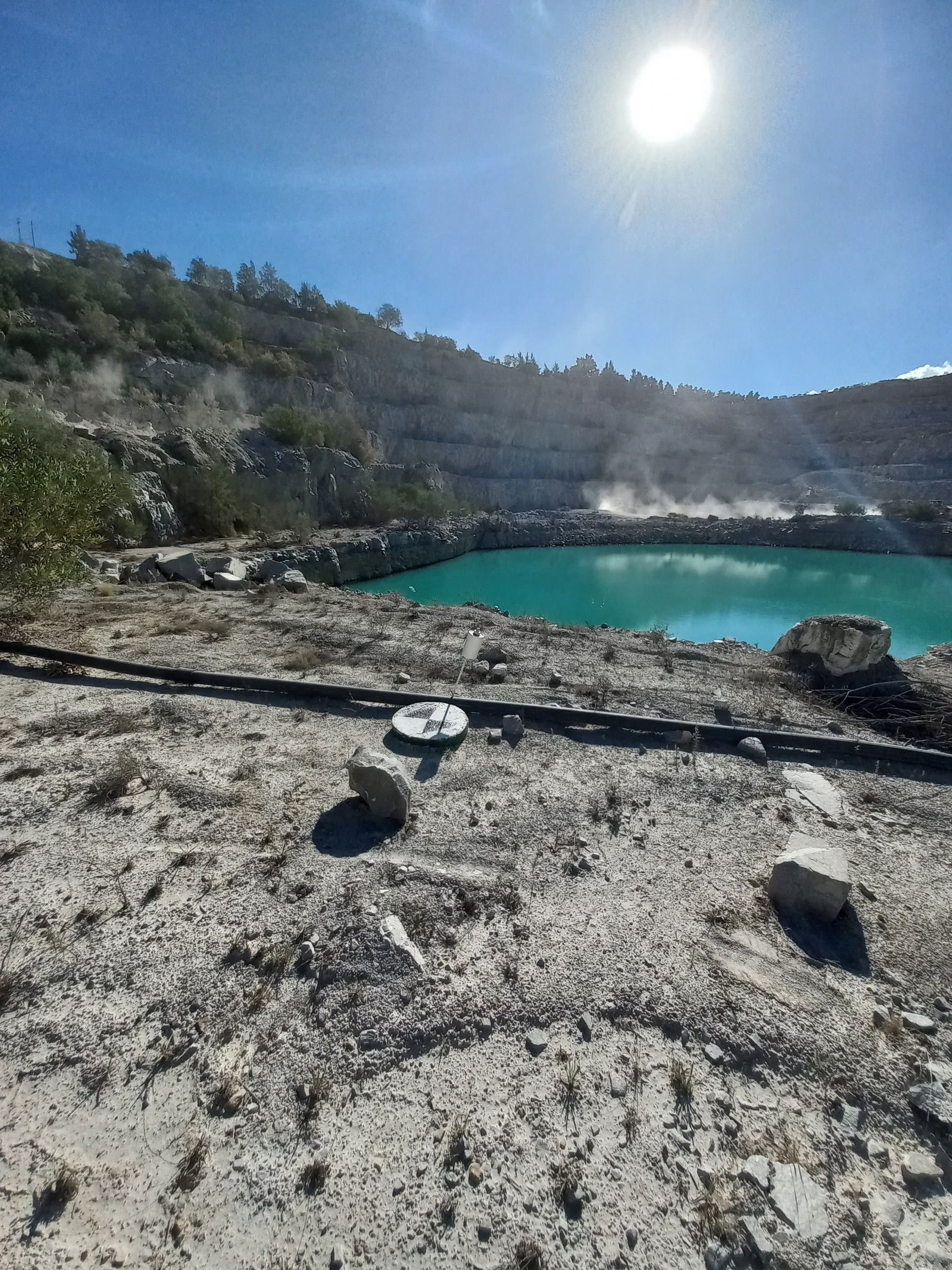
A pit lake seen from the edge of an open pit

09

Reclamation & Mine Closure Surveys

Provide accurate data for rehabilitation and closure planning.

Method and deliverables

Technology

  • Map disturbed land and waste facilities
  • Survey reshaped topography post-rehabilitation
  • Provide compliance documentation for environmental regulators

Why it mattersDemonstrates environmental responsibility, ensures legal compliance, and reduces liability post-closure.

Questions

Mining surveying: common questions

How do you measure stockpile and pit volumes?

We scan stockpiles with UAV photogrammetry and LiDAR, build a 3D model and calculate the volume. You get 3D models, volume reports in CSV or PDF, and change-over-time visuals for inventory, reporting and reconciliation.

What is deformation monitoring on a mine?

It detects movement in mine infrastructure, slopes, tailings dams and underground openings before failure occurs. We install and monitor prisms, extensometers and inclinometers, run high-frequency GNSS or total station checks, and report movement trends for early warning.

Do you survey underground workings?

Yes. We run traverse surveys through tunnels, drives, stopes and shafts, laser scan underground spaces in 3D, and combine underground and surface data into a single mine model.

Can Geovantage act as independent check surveyors?

Yes. At Barrick's Lumwana Mine in Zambia and at Kamoa Copper in the DRC we worked as check surveyors, verifying construction and managing survey teams.

Get a quote

Need mining surveying?

Email the scope, the site and your dates to arne@geovantage.co.za, or call. We will come back with a quote.