Case study · Mining

Lumwana Mine

Independent check surveyors at one of Africa's largest copper mines: verification, as-builts, GPR scanning and volume tracking.

Place
North-Western Province, Zambia
Client
Barrick
Our role
Check surveyors and survey team management
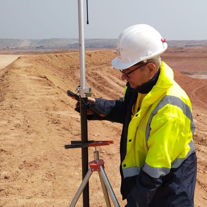
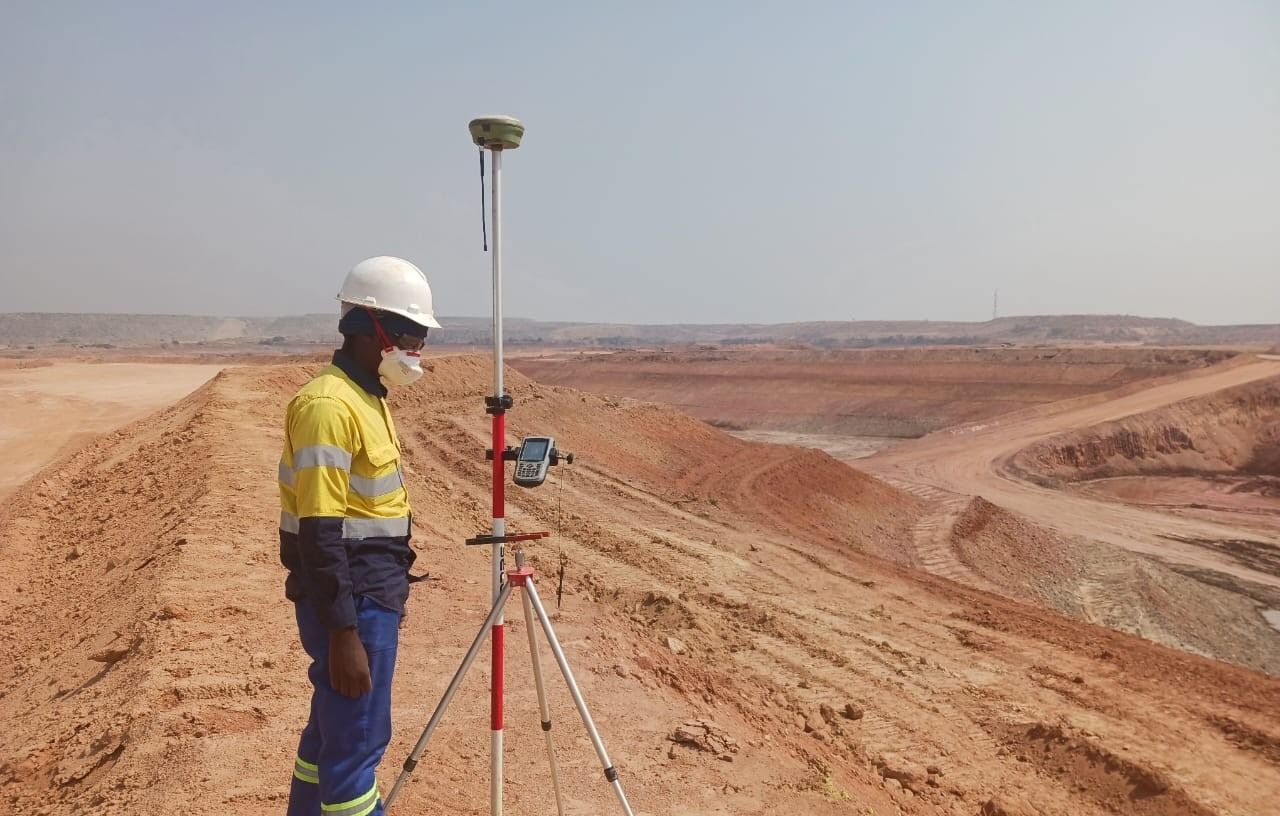
A surveyor with a GNSS pole on a haul road at Lumwana Mine

Overview

Lumwana is one of Africa's largest copper mines. It is operated by Barrick and covers a large, active mining area. Geovantage was appointed as check surveyors to provide independent verification, lead the site survey team and support all survey work, so that what was built matched the design and met strict safety and quality requirements.

Quick factAt one of Africa's largest copper mines, Geovantage acted as independent check surveyors, with real-time verification, accurate as-builts and volume tracking to keep Barrick's operations precise and compliant.

Challenges

  • Expansion of survey control across a dynamic, constantly changing mine site
  • Strict compliance requirements for underground service detection before excavation
  • The need for real-time verification to avoid costly rework or safety risks
  • Multiple large-scale contractors working simultaneously across different disciplines
Scope of work

  • Asphalt Planning Surveys: Creating and updating asphalt plans for operational and future mine planning
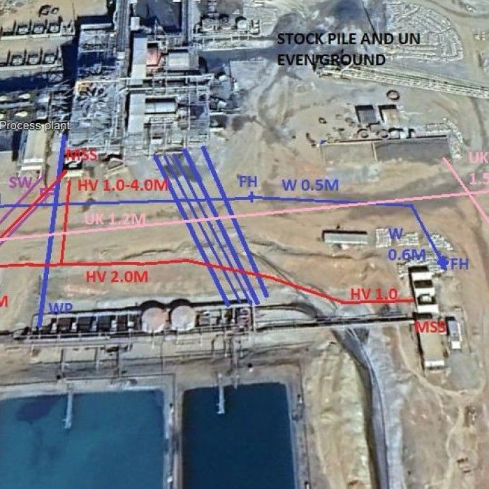
  • GPR Scanning: Detecting underground services for pre-excavation permits, reducing safety risks
  • Survey Team Management: Coordinating and supervising on-site surveyors to maintain consistency and precision
  • Control Establishment & Expansion: Setting and extending the control network across new work areas
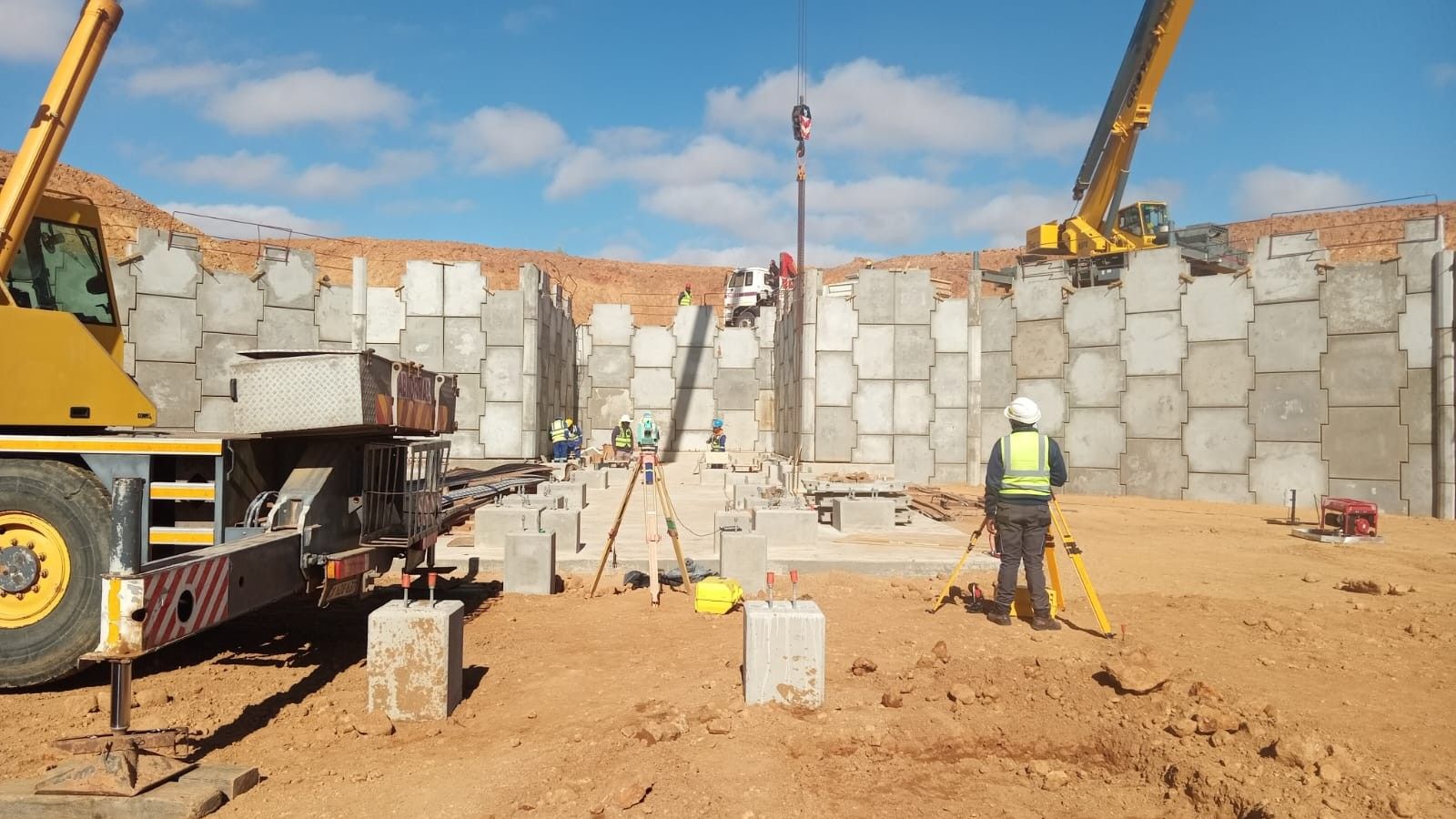
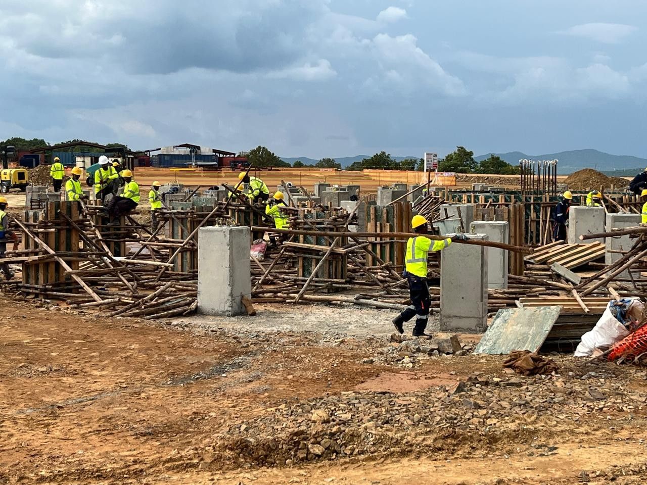
  • Bolt and Concrete Checking: Alignment and elevation checks for anchor bolts and formwork prior to and after concrete pours
  • Volume Calculations: Accurate measurement of earthworks and stockpiles for production tracking and reporting

Our approach

We embedded experienced surveyors directly into site operations to act as an independent quality and accuracy checkpoint. Our team worked alongside construction crews, mechanical installers, and mine planners to ensure all survey data was accurate, up-to-date, and immediately usable. This included the as-built process, surveying as soon as works were completed to document the true constructed position for QA and record keeping.

Technology and deliverables

Instrumentation

  • UAV / Drone Photogrammetry: large-area mapping and volumetrics
  • Ground Penetrating Radar (GPR): utility detection prior to excavation
  • Digital Levels: for high-accuracy elevation checks
  • GNSS RTK Systems: rapid positioning across the mine site
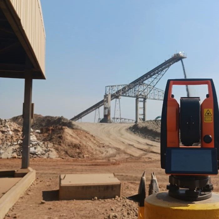
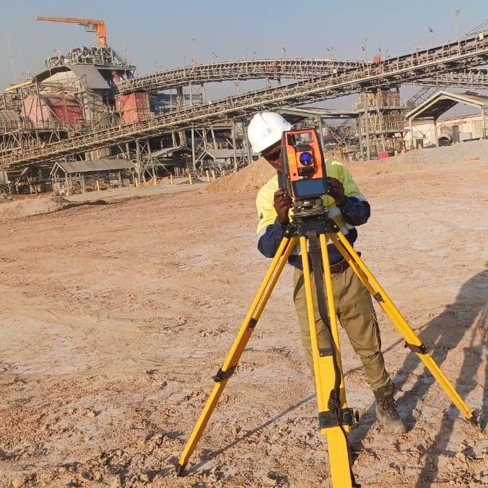
  • Robotic Total Stations: millimetre-precision set-out and verification

Deliverables

  • CAD drawings
  • Coordinate registers
  • Deviation reports
  • Volume reports
  • As-built files in PDF/DWG
  • Updated asphalt plans
  • GPR scan reports

Outcome

As-built surveys gave clear, accurate records of the works. GPR scanning found underground services before excavation, which prevented costly and dangerous strikes. The client got less downtime, better compliance and a steady flow of accurate data for decisions.

Get a quote

Have a site like this?

Email the scope, the site and your dates to arne@geovantage.co.za, or call. We will come back with a quote.